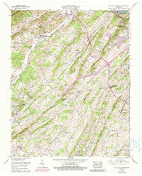
1959 Map of Sullivan Gardens
USGS Topo · Published 1990About this map
Bays Mtn and a series of parallel ridges dominate the landscape south of Sullivan Gardens, where the Sullivan Co Washington Co line cuts through the foothills. This 1959 survey, updated through 1971, captures the rural character of Northeast Tennessee before suburban expansion fully altered these valleys. Small agricultural communities like Double Springs, Harmony, and Poplar Grove are centered around local institutions such as Bethany Ch and Sullivan High Sch.
Find a feature on this map
91 named features on this map. Tap any name to fly to it.
Don’t see what you’re looking for? This feature index may not catch every label — zoom into the map to look around manually.
Map Details
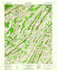
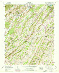
Editions of this 1959 Sullivan Gardens Map
3 editions found
Other maps of this area

1891 · Roan Mountain
USGS Topo · 1:125,000

1892 · Greeneville
USGS Topo · 1:125,000

1894 · Roan Mountain
USGS Topo · 1:125,000

1894 · Estillville
USGS Topo · 1:125,000

1896 · Greeneville
USGS Topo · 1:125,000

1897 · Bristol
USGS Topo · 1:125,000

1902 · Bristol
USGS Topo · 1:125,000

1904 · Roan Mountain
USGS Topo · 1:125,000

1904 · Greeneville
USGS Topo · 1:125,000

1935 · Lovelace
USGS Topo · 1:24,000