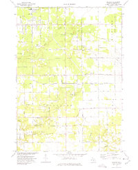
1972 Map of Sullivan
USGS Topo · Published 1975About this map
Wolf Lake and the rural crossroads of Sullivan anchor this early 1970s topographical record of eastern Muskegon County. The landscape is defined by the headwaters of numerous streams, including Black Creek, Norris Creek, and Cranberry Creek, which drain a mosaic of wooded wetlands and cleared fields. Local education and community life are well-documented through institutions like Oakridge High Sch, Bates Sch, and Jibson Ch. A notable industrial and transportation corridor runs through the center of the sheet, where the Penn Central and Grand Trunk Western railroads parallel Ravenna Road. Significant land-use features include the Landing Field (Abandoned) near Township Hall and numerous sandpits scattered across the township of Fruitport, signaling the area's extractive activity during this era.
Find a feature on this map
50 named features on this map. Tap any name to fly to it.
Don’t see what you’re looking for? This feature index may not catch every label — zoom into the map to look around manually.
Map Details
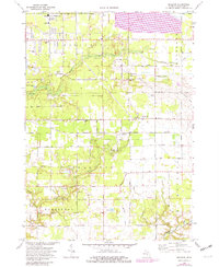
Editions of this 1972 Sullivan Map
2 editions found
Other maps of this area

1930 · Muskegon
USGS Topo · 1:62,500

1936 · Muskegon
USGS Topo · 1:62,500

1945 · Ravenna
USGS Topo · 1:62,500

1954 · Milwaukee
USGS Topo · 1:250,000

1954 · Midland
USGS Topo · 1:250,000

1958 · Midland
USGS Topo · 1:250,000

1958 · Milwaukee
USGS Topo · 1:250,000

1958 · Twin Lake
USGS Topo · 1:62,500

1958 · Fremont
USGS Topo · 1:62,500

1959 · Midland
USGS Topo · 1:250,000