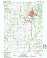
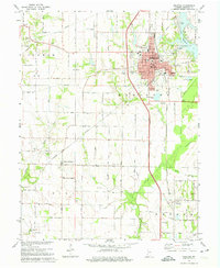
1974 Map of Sullivan
USGS Topo · Published 1987About this map
Sullivan serves as the regional hub in this mid-1970s landscape, where the traditional agricultural grid is interrupted by industrial footprints and community infrastructure. The town center is defined by its Courthouse, Municipal Bldg, and Sherman Hospital, while the eastern edge is bordered by the sprawling Sullivan County Park and Lake Sullivan. To the west, the presence of an Oil Field highlights the area's subterranean resources, a contrast to the fertile plains surrounding the smaller settlements of New Lebanon and Paxton.
Find a feature on this map
53 named features on this map. Tap any name to fly to it.
Don’t see what you’re looking for? This feature index may not catch every label — zoom into the map to look around manually.
Map Details
Editions of this 1974 Sullivan Map
2 editions found
Other maps of this area

1917 · Birds
USGS Topo · 1:62,500

1942 · Fairbanks
USGS Topo · 1:24,000

1942 · Shelburn
USGS Topo · 1:24,000

1942 · Birds
USGS Topo · 1:62,500

1943 · Merom
USGS Topo · 1:24,000

1943 · Hymera
USGS Topo · 1:24,000

1943 · Carlisle
USGS Topo · 1:24,000

1943 · Sullivan
USGS Topo · 1:24,000

1943 · Dugger
USGS Topo · 1:24,000

1944 · Bucktown
USGS Topo · 1:24,000