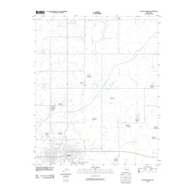
2009 Map of Sulphur North
USGS Topo · Published 2009About this map
Sulphur anchors the southern edge of this landscape, where the town's street grid meets the springs and waterfalls of the Chickasaw National Recreation Area. The topography is defined by the eastward flow of Travertine Creek and Rock Creek, which are punctuated by numerous smaller cascades including Little Niagara Falls, Cave Island Falls, and Panther Falls. This map illustrates a highly managed water system, featuring a dense network of watershed dams such as Rock Creek Site 17 Dam and Mill Creek Watershed 5 Dam designed for flood control and resource management.
Find a feature on this map
58 named features on this map. Tap any name to fly to it.
Don’t see what you’re looking for? This feature index may not catch every label — zoom into the map to look around manually.
Map Details
Editions of this 2009 Sulphur North Map
This is the sole edition of this map. No revisions or reprints were ever made.
Other maps of this area

1898 · Pauls Valley
USGS Topo · 1:125,000

1901 · Stonewall
USGS Topo · 1:125,000

1901 · Tishomingo
USGS Topo · 1:125,000

1901 · Ardmore
USGS Topo · 1:125,000

1902 · Pauls Valley
USGS Topo · 1:125,000

1918 · Ardmore
USGS Topo · 1:125,000

1957 · Ardmore
USGS Topo · 1:250,000

1963 · Ardmore
USGS Topo · 1:250,000

1963 · Sulphur South
USGS Topo · 1:24,000

1963 · Mill Creek
USGS Topo · 1:24,000