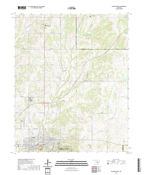
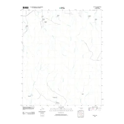
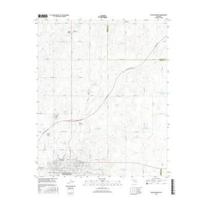
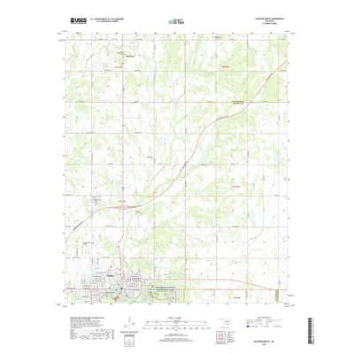
2022 Map of Sulphur North
USGS Topo · Published 2022About this map
The Chickasaw National Recreation Area dominates the southern landscape of this Oklahoma survey, where a concentration of freshwater landmarks like Buffalo Spring, Antelope Spring, and Little Niagara Falls gather along Travertine Cr. This hydrology has long defined the character of Sulphur, with the town's street grid and the Murray County Courthouse situated just north of these springs.
Find a feature on this map
82 named features on this map. Tap any name to fly to it.
Don’t see what you’re looking for? This feature index may not catch every label — zoom into the map to look around manually.
Map Details
Editions of this 2022 Sulphur North Map
This is the sole edition of this map. No revisions or reprints were ever made.
Historical Maps of Sulphur Through Time
24 maps found
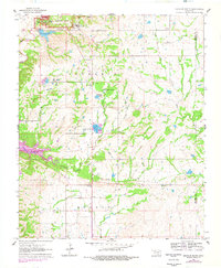
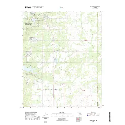
1963 Sulphur South
Murray County, OK
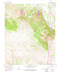
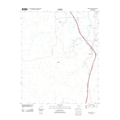
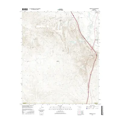
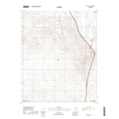
1964 Turner Falls
Murray County, OK
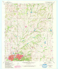
1967 Sulphur North
Murray County, OK
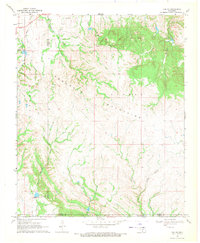
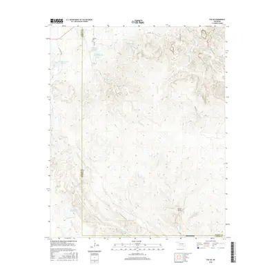
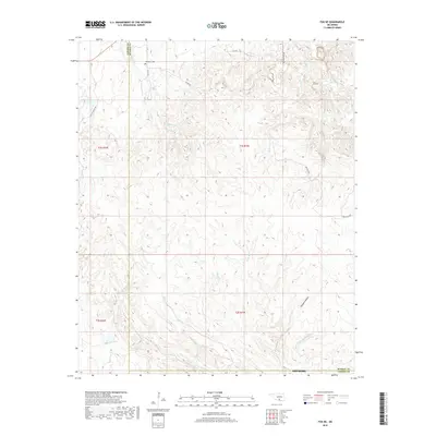
1968 Fox NE
Murray County, OK
2009 Fox NE
Murray County, OK
2009 Sulphur North
Murray County, OK
2010 Sulphur South
Murray County, OK
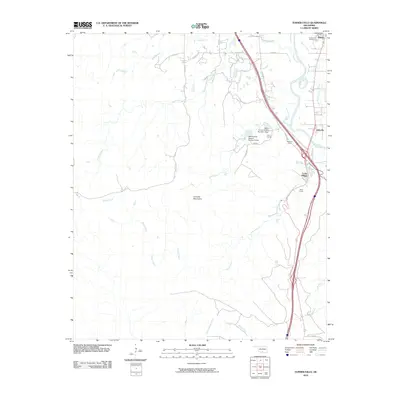
2010 Turner Falls
Murray County, OK
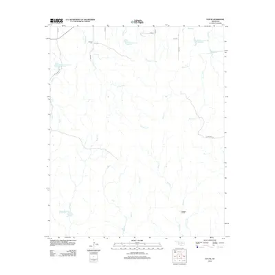
2012 Fox NE
Murray County, OK
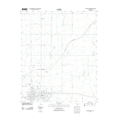
2012 Sulphur North
Murray County, OK
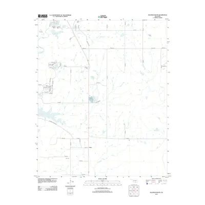
2012 Sulphur South
Murray County, OK
2012 Turner Falls
Murray County, OK
2016 Fox NE
Murray County, OK
2016 Sulphur North
Murray County, OK
2016 Sulphur South
Murray County, OK
2016 Turner Falls
Murray County, OK
2018 Fox NE
Murray County, OK
2018 Sulphur North
Murray County, OK
2018 Sulphur South
Murray County, OK
2018 Turner Falls
Murray County, OK
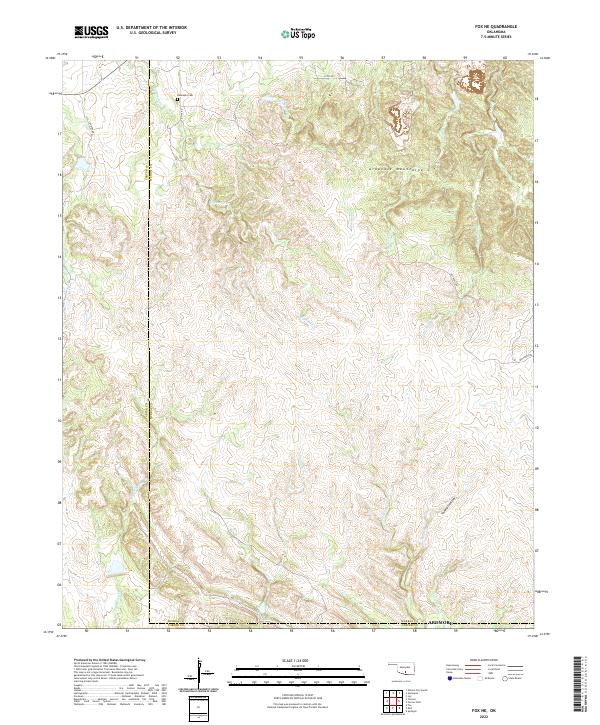
2022 Fox NE
Murray County, OK
2022 Sulphur North
Murray County, OK
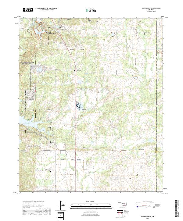
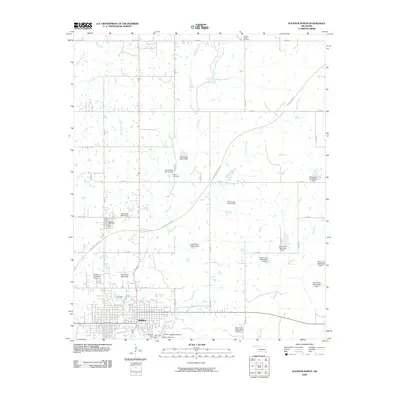
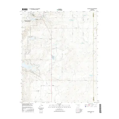
2022 Sulphur South
Murray County, OK
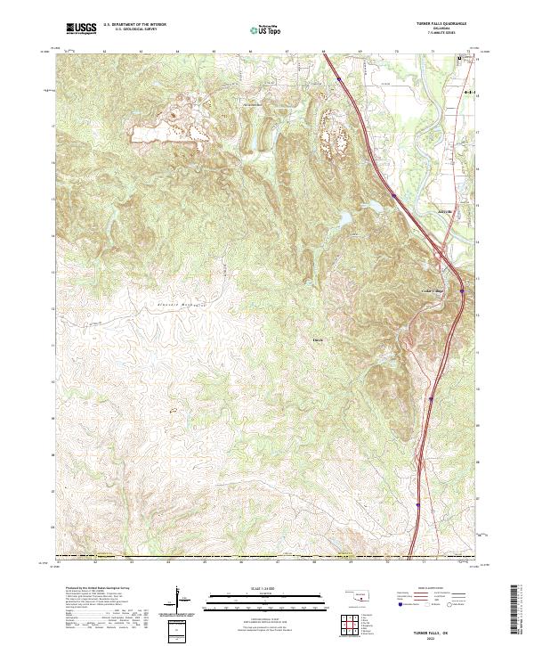
2022 Turner Falls
Murray County, OK