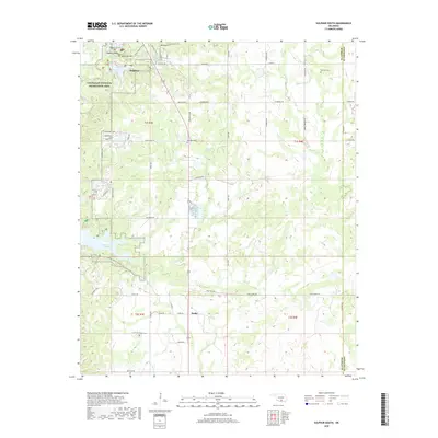
2018 Map of Sulphur South
USGS Topo · Published 2018About this map
Chickasaw National Recreation Area dominates the northwestern portion of this terrain, where the northern springs and creeks converge. Mineral waters such as Sulphur Bromide Spring, Bromide Spring, and Sulphur Asphalt Spring cluster near Sulphur, reflecting the area's long-standing identity as a place of hydrologic significance. Further south, the landscape is defined by the expansive Lake of the Arbuckles, which provides a focal point for the surrounding rural sections. The settlement pattern is scattered but contains key historical markers for genealogists, including the Buckhorn Cem near Lowrance Lake and the Drake Cem by the community of Drake. Numerous named drainages like Chili Cr and Wilson Cr dissect the region, while landmarks like Bromide Hill and Mt Airy provide vertical relief in this Oklahoma landscape.
Find a feature on this map
63 named features on this map. Tap any name to fly to it.
Don’t see what you’re looking for? This feature index may not catch every label — zoom into the map to look around manually.
Map Details
Editions of this 2018 Sulphur South Map
This is the sole edition of this map. No revisions or reprints were ever made.
Other maps of this area

1898 · Pauls Valley
USGS Topo · 1:125,000

1901 · Stonewall
USGS Topo · 1:125,000

1901 · Tishomingo
USGS Topo · 1:125,000

1901 · Ardmore
USGS Topo · 1:125,000

1902 · Pauls Valley
USGS Topo · 1:125,000

1918 · Ardmore
USGS Topo · 1:125,000

1957 · Ardmore
USGS Topo · 1:250,000

1963 · Ardmore
USGS Topo · 1:250,000

1963 · Sulphur South
USGS Topo · 1:24,000

1963 · Mill Creek
USGS Topo · 1:24,000