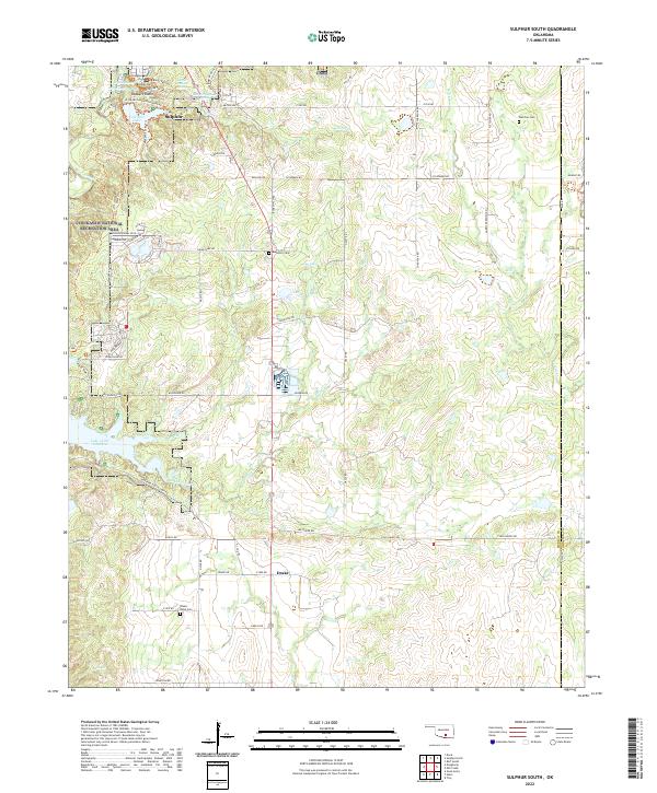
2022 Map of Sulphur South
USGS Topo · Published 2022About this map
Sulphur sits at the northern edge of this landscape, where the mineral wealth of the Arbuckle Mountains is expressed through numerous named water sources. The Chickasaw National Recreation Area dominates the northwest quadrant, featuring a high concentration of artesian and mineral springs including Sulphur Bromide Spring, Sulphur Asphalt Spring, and Cliff Bromide Springs. These waters feed into Rock Creek and Veterans Lake, while further south, the massive Lake of the Arbuckles defines the terrain. The map records several smaller family and community burial grounds away from the main town center, such as Fletcher Cem, Buckhorn Cem, and the Drake-Nebo Cem near the settlement of Drake. This area serves as a transition between the recreation-focused north and the rural, creek-dissected lands to the south and east, where Mill Cr and Chili Cr wind through the hills.
Find a feature on this map
82 named features on this map. Tap any name to fly to it.
Don’t see what you’re looking for? This feature index may not catch every label — zoom into the map to look around manually.
Map Details
Editions of this 2022 Sulphur South Map
This is the sole edition of this map. No revisions or reprints were ever made.
Other maps of this area

1898 · Pauls Valley
USGS Topo · 1:125,000

1901 · Stonewall
USGS Topo · 1:125,000

1901 · Tishomingo
USGS Topo · 1:125,000

1901 · Ardmore
USGS Topo · 1:125,000

1902 · Pauls Valley
USGS Topo · 1:125,000

1918 · Ardmore
USGS Topo · 1:125,000

1957 · Ardmore
USGS Topo · 1:250,000

1963 · Ardmore
USGS Topo · 1:250,000

1963 · Sulphur South
USGS Topo · 1:24,000

1963 · Mill Creek
USGS Topo · 1:24,000