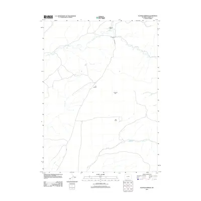
2012 Map of Sulphur Springs
USGS Topo · Published 2012About this map
Sulphur Springs Ranch sits near the head of Alamosa Gulch, marking a pocket of development in this high-plains landscape. The topography is defined by the drainage systems of Muddy Cr in the north and the seasonal paths of Dry Cow Cr and Cow Cr to the south. These watercourses carve through a terrain of undulating elevations, including The Sand Hills and Bear Gulch.
Find a feature on this map
11 named features on this map. Tap any name to fly to it.
Don’t see what you’re looking for? This feature index may not catch every label — zoom into the map to look around manually.
Map Details
Editions of this 2012 Sulphur Springs Map
This is the sole edition of this map. No revisions or reprints were ever made.
Other maps of this area

1932 · Savery
USGS Topo · 1:96,000

1940 · Savery
USGS Topo · 1:125,000

1954 · Rawlins
USGS Topo · 1:250,000

1956 · Bridger Pass
USGS Topo · 1:62,500

1957 · Doty Mountain
USGS Topo · 1:62,500

1958 · Rawlins
USGS Topo · 1:250,000

1961 · Ketchum Buttes
USGS Topo · 1:24,000

1961 · Pole Gulch
USGS Topo · 1:24,000

1962 · Rawlins
USGS Topo · 1:250,000

1966 · Seaverson Reservoir
USGS Topo · 1:24,000