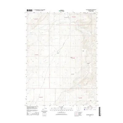
2015 Map of Sulphur Springs
USGS Topo · Published 2015About this map
Sulphur Springs and the surrounding drainage basins of the Carbon County high desert define this 2015 topographic study. The landscape is characterized by an intricate network of seasonal watercourses and gulches, including Alamosa Gulch, Horse Gulch, and Bear Gulch, which feed into larger systems like Muddy Cr. The human footprint is sparse, represented primarily by specialized infrastructure such as JO Reservoir and the naming of specific locales like The Willows.
Find a feature on this map
20 named features on this map. Tap any name to fly to it.
Don’t see what you’re looking for? This feature index may not catch every label — zoom into the map to look around manually.
Map Details
Editions of this 2015 Sulphur Springs Map
This is the sole edition of this map. No revisions or reprints were ever made.
Other maps of this area

1932 · Savery
USGS Topo · 1:96,000

1940 · Savery
USGS Topo · 1:125,000

1954 · Rawlins
USGS Topo · 1:250,000

1956 · Bridger Pass
USGS Topo · 1:62,500

1957 · Doty Mountain
USGS Topo · 1:62,500

1958 · Rawlins
USGS Topo · 1:250,000

1961 · Ketchum Buttes
USGS Topo · 1:24,000

1961 · Pole Gulch
USGS Topo · 1:24,000

1962 · Rawlins
USGS Topo · 1:250,000

1966 · Seaverson Reservoir
USGS Topo · 1:24,000