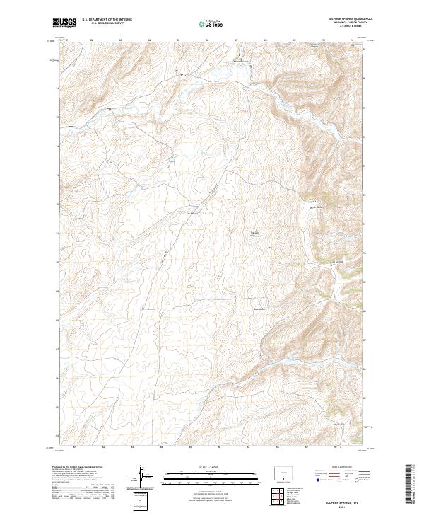
2021 Map of Sulphur Springs
USGS Topo · Published 2021About this map
The Willows marks a central point of settlement in this part of Carbon County, where the high plains of Wyoming meet a complex system of seasonal drainages. The landscape is defined by the carved topography of Alamosa Gulch and Snowshoe Canyon to the north, giving way to the elevated terrain of The Sand Hills. This area highlights the importance of water management in a semi-arid environment, anchored by J O Reservoir and a network of creeks including Muddy Cr and Cow Cr.
Find a feature on this map
20 named features on this map. Tap any name to fly to it.
Don’t see what you’re looking for? This feature index may not catch every label — zoom into the map to look around manually.
Map Details
Editions of this 2021 Sulphur Springs Map
This is the sole edition of this map. No revisions or reprints were ever made.
Other maps of this area

1932 · Savery
USGS Topo · 1:96,000

1940 · Savery
USGS Topo · 1:125,000

1954 · Rawlins
USGS Topo · 1:250,000

1956 · Bridger Pass
USGS Topo · 1:62,500

1957 · Doty Mountain
USGS Topo · 1:62,500

1958 · Rawlins
USGS Topo · 1:250,000

1961 · Ketchum Buttes
USGS Topo · 1:24,000

1961 · Pole Gulch
USGS Topo · 1:24,000

1962 · Rawlins
USGS Topo · 1:250,000

1966 · Seaverson Reservoir
USGS Topo · 1:24,000