
1960 Map of Sulphur Springs
USGS Topo · Published 1961About this map
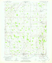
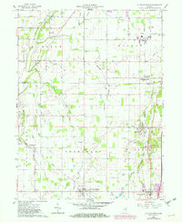
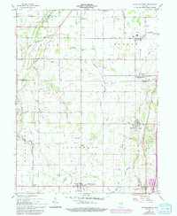
Sulphur Springs and the surrounding townships of Salem, Monroe, Jefferson, and Prairie define this agricultural landscape at the turn of the 1960s. The region is marked by a transition from Delaware County into Henry County, with the New York Chicago and St Louis RR serving as a vital transportation artery connecting the small elevator towns of Oakville and Springport. The drainage patterns of Fall Creek, Bell Creek, and Honey Creek dictate the layout of the rural road network, which follows a rigid section-line grid including 500 South Road and 700 South Road.
Find a feature on this map
43 named features on this map. Tap any name to fly to it.
Don’t see what you’re looking for? This feature index may not catch every label — zoom into the map to look around manually.
Map Details
Editions of this 1960 Sulphur Springs Map
4 editions found
Other maps of this area

1949 · New Castle West
USGS Topo · 1:24,000

1950 · New Castle East
USGS Topo · 1:24,000

1952 · Muncie East
USGS Topo · 1:24,000

1952 · Muncie West
USGS Topo · 1:24,000

1953 · Cincinnati
USGS Topo · 1:250,000

1953 · Muncie
USGS Topo · 1:250,000

1956 · Muncie
USGS Topo · 1:250,000

1957 · Cincinnati
USGS Topo · 1:250,000

1960 · Gilman
USGS Topo · 1:24,000

1960 · New Castle West
USGS Topo · 1:24,000