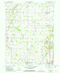
1960 Map of Sulphur Springs
USGS Topo · Published 1982About this map
Sulphur Springs and the surrounding townships of Jefferson, Prairie, Salem, and Monroe define this 1960 landscape. The map captures a moment of transition in Indiana's rail and agricultural infrastructure, featuring the Norfolk and Western and Conrail lines as they intersect the rural landscape. Small rural communities like Springport, Mount Summit, and Oakville are clearly documented, providing a precise look at the mid-century settlement patterns of Henry and Delaware Counties.
Find a feature on this map
50 named features on this map. Tap any name to fly to it.
Don’t see what you’re looking for? This feature index may not catch every label — zoom into the map to look around manually.
Map Details
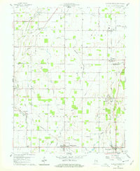
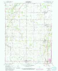
Editions of this 1960 Sulphur Springs Map
4 editions found

Other maps of this area

1949 · New Castle West
USGS Topo · 1:24,000

1950 · New Castle East
USGS Topo · 1:24,000

1952 · Muncie East
USGS Topo · 1:24,000

1952 · Muncie West
USGS Topo · 1:24,000

1953 · Cincinnati
USGS Topo · 1:250,000

1953 · Muncie
USGS Topo · 1:250,000

1956 · Muncie
USGS Topo · 1:250,000

1957 · Cincinnati
USGS Topo · 1:250,000

1960 · Gilman
USGS Topo · 1:24,000

1960 · New Castle West
USGS Topo · 1:24,000