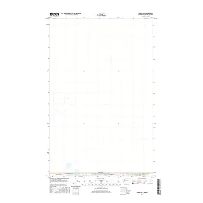
2017 Map of Sumas OE N
USGS Topo · Published 2017About this map
Judson Lake sits bisected by the international boundary on this 2017 survey, where the Washington state line meets Canada. The landscape here is dominated by the geometric precision of the Public Land Survey System, specifically within T41N R3E Section 36 and T41N R4E Section 33. The settlement of Sumas is positioned at this border crossing in Whatcom County, serving as a primary point of transit between the two nations. The map details the local infrastructure supporting this frontier area, including Cleveland St, which anchors the small-scale development near the northernmost edge of the United States. The topography is exceptionally level, reflecting the drainage patterns of the surrounding Fraser Valley region.
Find a feature on this map
10 named features on this map. Tap any name to fly to it.
Don’t see what you’re looking for? This feature index may not catch every label — zoom into the map to look around manually.
Map Details
Editions of this 2017 Sumas OE N Map
This is the sole edition of this map. No revisions or reprints were ever made.
Other maps of this area

1906 · Sumas
USGS Topo · 1:62,500

1908 · Sumas
USGS Topo · 1:62,500

1919 · Van Zandt
USGS Topo · 1:62,500

1951 · Van Zandt
USGS Topo · 1:62,500

1952 · Lynden
USGS Topo · 1:24,000

1952 · Sumas
USGS Topo · 1:24,000

1954 · Lynden
USGS Topo · 1:62,500

1957 · Victoria
USGS Topo · 1:250,000
1972 · Kendall
USGS Topo · 1:24,000

1975 · Bellingham
USGS Topo · 1:100,000