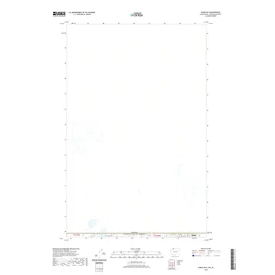
2020 Map of Sumas OE N
USGS Topo · Published 2020About this map
The international border between Canada and the United States of America defines the lower edge of this 2020 survey, where the township lines of t41n r3e and t41n r4e converge. The landscape is dominated by the northernmost reaches of Whatcom County, centered on the cross-border waters of Judson Lake. This region illustrates the intersection of rural Washington with the Canadian province of British Columbia, characterized by local thoroughfares such as W Van Buren Rd and Arthur Way. The map provides a precise look at the settlement of Sumas as it positioned itself along the boundary line in the early 21st century, showing how infrastructure and property lines respect the sovereign divide.
Find a feature on this map
7 named features on this map. Tap any name to fly to it.
Don’t see what you’re looking for? This feature index may not catch every label — zoom into the map to look around manually.
Map Details
Editions of this 2020 Sumas OE N Map
This is the sole edition of this map. No revisions or reprints were ever made.
Other maps of this area

1906 · Sumas
USGS Topo · 1:62,500

1908 · Sumas
USGS Topo · 1:62,500

1919 · Van Zandt
USGS Topo · 1:62,500

1951 · Van Zandt
USGS Topo · 1:62,500

1952 · Lynden
USGS Topo · 1:24,000

1952 · Sumas
USGS Topo · 1:24,000

1954 · Lynden
USGS Topo · 1:62,500

1957 · Victoria
USGS Topo · 1:250,000
1972 · Kendall
USGS Topo · 1:24,000

1975 · Bellingham
USGS Topo · 1:100,000