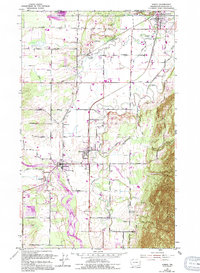
1952 Map of Sumas
USGS Topo · Published 1994About this map
The Canada United States border defines the northern edge of this agricultural landscape, where the international boundary cuts directly through Judson Lake and the northern outskirts of Sumas. In the mid-20th century, the region's economy was anchored by the Chicago Milwaukee St Paul and Pacific railroad and a network of gravel extraction sites. The twin settlements of Everson and Nooksack sit near the wide bend of the Nooksack River, which is flanked by a protective levee system. To the east, the rising slopes of Sumas Mountain contrast with the flat valley floor, where smaller communities like Clearbrook and Hampton are connected by a grid of named rural routes, including Halverstick Road and Telegraph Road. The presence of several cemeteries and the Nooksack Valley High Sch highlights the established community infrastructure during this era of post-war development.
Find a feature on this map
37 named features on this map. Tap any name to fly to it.
Don’t see what you’re looking for? This feature index may not catch every label — zoom into the map to look around manually.
Map Details
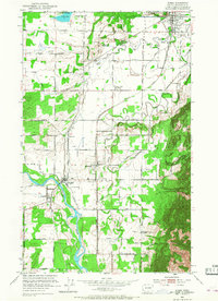
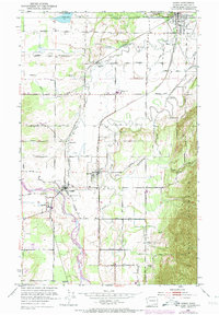
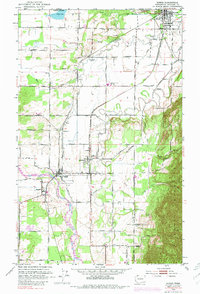
Editions of this 1952 Sumas Map
5 editions found
Other maps of this area

1906 · Sumas
USGS Topo · 1:62,500

1908 · Sumas
USGS Topo · 1:62,500

1919 · Van Zandt
USGS Topo · 1:62,500

1951 · Van Zandt
USGS Topo · 1:62,500

1952 · Lynden
USGS Topo · 1:24,000

1952 · Lawrence
USGS Topo · 1:24,000

1952 · Sumas
USGS Topo · 1:24,000

1954 · Bellingham North
USGS Topo · 1:24,000

1954 · Lynden
USGS Topo · 1:62,500

1957 · Victoria
USGS Topo · 1:250,000