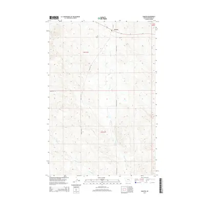
2014 Map of Sumatra
USGS Topo · Published 2014About this map
Sumatra and its surrounding ranchlands are detailed in this Rosebud County survey, where the prairie landscape is defined by the winding drainages of Muggins Cr and W Muggins Cr. The settlement of Sumatra sits along Us-12, serving as a primary corridor through this section of the Big Open region. Family ranching legacy is evident across the township lines, with locations such as Grebe Ranch, Hecker Ranch, and Yablonski Ranch noted alongside Guthridge Ranch. These operations are connected by a network of rural routes including Muggins Gap Rd and the descriptively named Broken Chain Rd. To the west of the main townsite, Sumatra Cem remains a significant marker for local genealogists researching the homesteading families of this high plains area.
Find a feature on this map
22 named features on this map. Tap any name to fly to it.
Don’t see what you’re looking for? This feature index may not catch every label — zoom into the map to look around manually.
Map Details
Editions of this 2014 Sumatra Map
This is the sole edition of this map. No revisions or reprints were ever made.
Other maps of this area

1954 · Forsyth
USGS Topo · 1:250,000

1957 · Forsyth
USGS Topo · 1:250,000

1958 · Forsyth
USGS Topo · 1:250,000

1960 · Yablonski Ranch
USGS Topo · 1:24,000

1960 · Ingomar West
USGS Topo · 1:24,000

1960 · Mc Konkey Creek
USGS Topo · 1:24,000

1962 · Guthridge Ranch
USGS Topo · 1:24,000

1962 · Sumatra
USGS Topo · 1:24,000

1962 · Grebe Ranch
USGS Topo · 1:24,000

1963 · Hecker Ranch
USGS Topo · 1:24,000