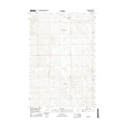
2017 Map of Sumatra
USGS Topo · Published 2017About this map
Sumatra serves as the central focal point of this Rosebud County landscape, situated where the high plains meet a complex network of seasonal drainages. The settlement's history is physically anchored by the Sumatra Cem, while the surrounding terrain is defined by the winding paths of Muggins Cr and its western branch, W Muggins Cr. These waterways carve distinct relief into the township and range grid, influencing the local road network. Transport and access are dictated by the prairie topography, with routes like Muggins Gap Rd and Broken Chain Rd providing vital links across the open range. The map illustrates a contemporary view of this rural Montana community, where large-scale ranching and land management are evident through the long stretches of Sumatra-Hysham Rd and Galbirth Rd.
Find a feature on this map
15 named features on this map. Tap any name to fly to it.
Don’t see what you’re looking for? This feature index may not catch every label — zoom into the map to look around manually.
Map Details
Editions of this 2017 Sumatra Map
This is the sole edition of this map. No revisions or reprints were ever made.
Other maps of this area

1954 · Forsyth
USGS Topo · 1:250,000

1957 · Forsyth
USGS Topo · 1:250,000

1958 · Forsyth
USGS Topo · 1:250,000

1960 · Yablonski Ranch
USGS Topo · 1:24,000

1960 · Ingomar West
USGS Topo · 1:24,000

1960 · Mc Konkey Creek
USGS Topo · 1:24,000

1962 · Guthridge Ranch
USGS Topo · 1:24,000

1962 · Sumatra
USGS Topo · 1:24,000

1962 · Grebe Ranch
USGS Topo · 1:24,000

1963 · Hecker Ranch
USGS Topo · 1:24,000