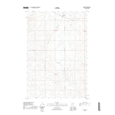
2020 Map of Sumatra
USGS Topo · Published 2020About this map
Sumatra serves as the focal point of this Rosebud County landscape, situated along the northern reaches of the quadrangle. The town is flanked by the Sumatra Cem and a network of arterial ranching roads, reflecting the established land-use patterns of this part of Montana. The drainage systems of Muggins Cr and its tributary W Muggins Cr carve through the terrain, while Home Cr defines the northern topography. These seasonal watercourses and the surrounding ridges dictate the placement of transportation routes like Muggins Gap Rd and Broken Chain Rd. This survey highlights the intersection of public land survey boundaries, including t10n r33e, t10n r34e, and t9n r33e, which organize the sparsely populated cattle-country and high plains geography.
Find a feature on this map
14 named features on this map. Tap any name to fly to it.
Don’t see what you’re looking for? This feature index may not catch every label — zoom into the map to look around manually.
Map Details
Editions of this 2020 Sumatra Map
This is the sole edition of this map. No revisions or reprints were ever made.
Other maps of this area

1954 · Forsyth
USGS Topo · 1:250,000

1957 · Forsyth
USGS Topo · 1:250,000

1958 · Forsyth
USGS Topo · 1:250,000

1960 · Yablonski Ranch
USGS Topo · 1:24,000

1960 · Ingomar West
USGS Topo · 1:24,000

1960 · Mc Konkey Creek
USGS Topo · 1:24,000

1962 · Guthridge Ranch
USGS Topo · 1:24,000

1962 · Sumatra
USGS Topo · 1:24,000

1962 · Grebe Ranch
USGS Topo · 1:24,000

1963 · Hecker Ranch
USGS Topo · 1:24,000