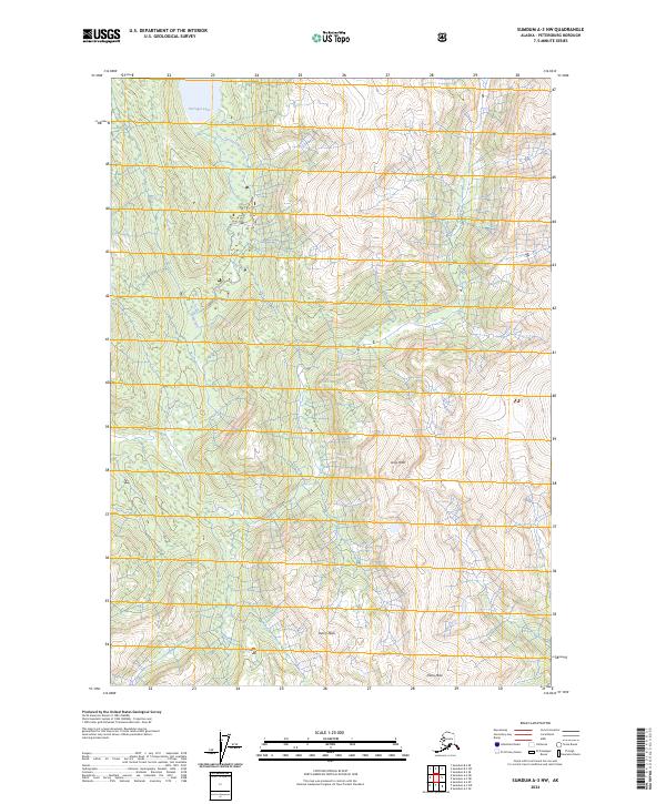
2024 Map of Sumdum A-3 NW
USGS Topo · Published 2024About this map
Tongass National Forest encompasses this wilderness area where the Farragut River flows southward from the glacial waters of Farragut Lake. The terrain is defined by dramatic elevation changes, climbing from the river valley to the prominent summits of Gray Peak and Henry Peak. To the southeast, Dana Peak stands as a significant landmark near the forest boundary. This survey, compiled from data ranging from the late 20th century to the 2020s, illustrates the complex hydrography and topography of the Alaska panhandle, documenting the natural drainage patterns and peaks that have long served as navigational waypoints in this coastal forest region.
Find a feature on this map
12 named features on this map. Tap any name to fly to it.
Don’t see what you’re looking for? This feature index may not catch every label — zoom into the map to look around manually.
Map Details
Editions of this 2024 Sumdum A-3 NW Map
This is the sole edition of this map. No revisions or reprints were ever made.
Other maps of this area

1943 · Sumdum B-4
USGS Topo · 1:63,360

1948 · Sumdum A-4
USGS Topo · 1:63,360

1948 · Sumdum B-4
USGS Topo · 1:63,360

1951 · Sumdum A-4
USGS Topo · 1:63,360

1952 · Sumdum
USGS Topo · 1:250,000

1961 · Sumdum A-3
USGS Topo · 1:63,360

1961 · Sumdum B-3
USGS Topo · 1:63,360

1961 · Sumdum
USGS Topo · 1:250,000

1996 · Sumdum B-3
USGS Topo · 1:63,360

1996 · Sumdum B-4
USGS Topo · 1:63,360