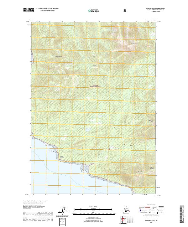
2021 Map of Sumdum A-5 NE
USGS Topo · Published 2021About this map
Tongass National Forest dominates this coastal Alaskan landscape, where the Coast Mountains meet the waters of Southeast Alaska. This 2021 survey reveals a dramatic vertical geography defined by the Fanshaw Range and several prominent summits, including Mt Fanshaw and the sharply rising Dahlgren Peak to the northeast. The shoreline is punctuated by Point Highland, while the interior is carved by drainages such as Negro Cr. Mapping this region requires careful attention to the complex topography that transitions from the tide line to high-altitude landmarks like Man-of-War Peak and Jamestown Peak. The area represents a pristine intersection of maritime influence and glacial-carved mountain terrain, providing a contemporary record of one of the most remote stretches of the American Pacific Northwest.
Find a feature on this map
15 named features on this map. Tap any name to fly to it.
Don’t see what you’re looking for? This feature index may not catch every label — zoom into the map to look around manually.
Map Details
Editions of this 2021 Sumdum A-5 NE Map
This is the sole edition of this map. No revisions or reprints were ever made.
Other maps of this area

1943 · Sumdum B-4
USGS Topo · 1:63,360

1948 · Sumdum A-4
USGS Topo · 1:63,360

1948 · Sumdum A-5
USGS Topo · 1:63,360

1948 · Sumdum B-5
USGS Topo · 1:63,360

1948 · Sumdum B-4
USGS Topo · 1:63,360

1951 · Sumdum A-4
USGS Topo · 1:63,360

1951 · Sumdum B-5
USGS Topo · 1:63,360

1952 · Sumdum
USGS Topo · 1:250,000

1961 · Sumdum
USGS Topo · 1:250,000

1996 · Sumdum B-4
USGS Topo · 1:63,360