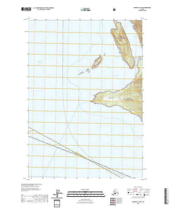
2021 Map of Sumdum A-5 NW
USGS Topo · Published 2021About this map
Stephens Passage dominates the western half of this maritime landscape, serving as a primary waterway within the Tongass National Forest. The map centers on the dramatic peninsula ending at Cape Fanshaw and Canoe Point, which separates the open passage from the sheltered waters of Fanshaw Bay. To the north, Whitney Island and the Storm Islands provide navigational landmarks for those traversing the Cleveland Passage. The terrain is defined by the steep rises of the Fanshaw Range along the eastern coastline. Near Duck Point and the complex shoreline of East Spit and West Spit, the map identifies the location of South Village, a significant indicator of localized settlement patterns in this coastal environment. A jurisdictional boundary also cuts across the southern waters, marking the line between the Petersburg Borough and Prince of Wales-Hyder Census Area.
Find a feature on this map
22 named features on this map. Tap any name to fly to it.
Don’t see what you’re looking for? This feature index may not catch every label — zoom into the map to look around manually.
Map Details
Editions of this 2021 Sumdum A-5 NW Map
This is the sole edition of this map. No revisions or reprints were ever made.
Other maps of this area

1948 · Sumdum A-5
USGS Topo · 1:63,360

1948 · Sumdum A-6
USGS Topo · 1:63,360

1948 · Sumdum B-6
USGS Topo · 1:63,360

1948 · Sumdum B-5
USGS Topo · 1:63,360

1951 · Sumdum B-5
USGS Topo · 1:63,360

1952 · Sumdum
USGS Topo · 1:250,000

1961 · Sumdum
USGS Topo · 1:250,000
1994 · Sumdum A-6
USGS Topo · 1:63,360
1996 · Sumdum B-5
USGS Topo · 1:63,360
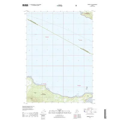
2017 · Sumdum A-5 SE
USGS Topo · 1:25,000