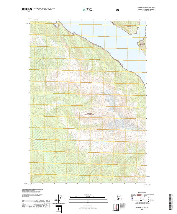
2021 Map of Sumdum C-4 SW
USGS Topo · Published 2021About this map
The Tongass National Forest dominates this section of the Coast Mountains, where steep, ice-carved topography meets the intricate drainage systems of the Alaskan coast. High-elevation basins hold the Placer Lakes, which feed into a network of swift-moving watercourses including Sylvia Cr and Spruce Cr. These streams descend rapidly through dense forest cover toward the coast, illustrating the primitive, undeveloped character of the region as documented in the early twenty-first century. To the south, the Chuck River meanders through the lower elevations, marking a transition in the drainage pattern. The map's detail provides a precise view of the complex hydrology and forest boundaries that define this portion of the Alaska Panhandle, serving as a critical reference for understanding the land’s physical organization within the federal forest system.
Find a feature on this map
10 named features on this map. Tap any name to fly to it.
Don’t see what you’re looking for? This feature index may not catch every label — zoom into the map to look around manually.
Map Details
Editions of this 2021 Sumdum C-4 SW Map
This is the sole edition of this map. No revisions or reprints were ever made.
Other maps of this area

1943 · Sumdum B-4
USGS Topo · 1:63,360

1948 · Sumdum C-5
USGS Topo · 1:63,360

1948 · Sumdum B-5
USGS Topo · 1:63,360

1948 · Sumdum B-4
USGS Topo · 1:63,360

1951 · Sumdum C-5
USGS Topo · 1:63,360

1951 · Sumdum B-5
USGS Topo · 1:63,360

1952 · Sumdum
USGS Topo · 1:250,000

1961 · Sumdum C-4
USGS Topo · 1:63,360

1961 · Sumdum
USGS Topo · 1:250,000

1996 · Sumdum B-4
USGS Topo · 1:63,360