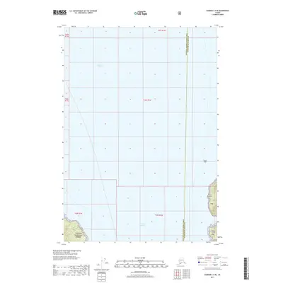
2017 Map of Sumdum C-6 NE
USGS Topo · Published 2017About this map
Stephens Passage dominates this 2017 survey, defining the marine landscape of the Unorganized Borough between the Hoonah-Angoon Census Area and Petersburg Borough boundary. The map illustrates a coastline characterized by maritime landmarks such as Thistle Ledge and the sheltered waters of Dry Bay. On the eastern shore, the terrain rises into the protected reaches of the Tongass National Forest, where prominent coastal features like Point Lookout and Point League serve as vital navigation points. The absence of roads or established settlements reflects the wilderness character of this Southeast Alaska corridor, where the land-sea interface remains governed by the tides and the expansive national forest system rather than industrial or urban development.
Find a feature on this map
14 named features on this map. Tap any name to fly to it.
Don’t see what you’re looking for? This feature index may not catch every label — zoom into the map to look around manually.
Map Details
Editions of this 2017 Sumdum C-6 NE Map
This is the sole edition of this map. No revisions or reprints were ever made.
Other maps of this area

1948 · Sumdum D-6
USGS Topo · 1:63,360

1948 · Sumdum C-5
USGS Topo · 1:63,360

1948 · Sumdum C-6
USGS Topo · 1:63,360

1948 · Sumdum D-5
USGS Topo · 1:63,360

1951 · Sumdum C-5
USGS Topo · 1:63,360

1951 · Sumdum D-6
USGS Topo · 1:63,360

1951 · Sumdum C-6
USGS Topo · 1:63,360

1952 · Sumdum
USGS Topo · 1:250,000

1955 · Sumdum D-5
USGS Topo · 1:63,360

1961 · Sumdum
USGS Topo · 1:250,000