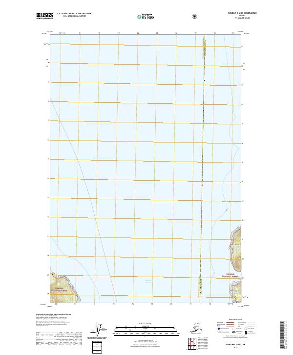
2021 Map of Sumdum C-6 NE
USGS Topo · Published 2021About this map
Stephens Passage dominates the central aquatic landscape of this 2021 survey, serving as a primary maritime corridor through the Alexander Archipelago. The map captures a section of the Tongass National Forest where the rugged coastline of the mainland meets the coastal waters of Southeast Alaska. This maritime boundary is marked by distinct navigational hazards and landmarks including Thistle Ledge and the prominent heights of Point Lookout. The interface of land and sea is further detailed at Dry Bay and Point League, providing a high-resolution look at the shoreline as it existed in the early 21st century. The map also delineates the administrative border between the Hoonah-Angoon Census Area and Petersburg Borough, illustrating how modern political boundaries bisect this complex glacial landscape.
Find a feature on this map
7 named features on this map. Tap any name to fly to it.
Don’t see what you’re looking for? This feature index may not catch every label — zoom into the map to look around manually.
Map Details
Editions of this 2021 Sumdum C-6 NE Map
This is the sole edition of this map. No revisions or reprints were ever made.
Other maps of this area

1948 · Sumdum D-6
USGS Topo · 1:63,360

1948 · Sumdum C-5
USGS Topo · 1:63,360

1948 · Sumdum C-6
USGS Topo · 1:63,360

1948 · Sumdum D-5
USGS Topo · 1:63,360

1951 · Sumdum C-5
USGS Topo · 1:63,360

1951 · Sumdum D-6
USGS Topo · 1:63,360

1951 · Sumdum C-6
USGS Topo · 1:63,360

1952 · Sumdum
USGS Topo · 1:250,000

1955 · Sumdum D-5
USGS Topo · 1:63,360

1961 · Sumdum
USGS Topo · 1:250,000