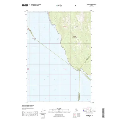
2017 Map of Sumdum D-6 SE
USGS Topo · Published 2017About this map
Stephens Passage dominates the western portion of this 2017 maritime and coastal landscape, where the cold waters of Southeast Alaska meet the steep, wooded slopes of the Tongass National Forest. The map documents a critical intersection of administrative boundaries, marking the transition between the Juneau Borough Hoonah-Angoon Census Area, the Hoonah-Angoon Census Area Petersburg Borough, and the Petersburg Borough. Coastal features like Point Coke and the Midway Islands serve as essential navigational markers for the passage, while inland, the topography rises sharply to Meigs Peak. This survey provides a precise look at the wilderness coastline before modern development, preserving the legal and geographic divisions of this remote corridor.
Find a feature on this map
11 named features on this map. Tap any name to fly to it.
Don’t see what you’re looking for? This feature index may not catch every label — zoom into the map to look around manually.
Map Details
Editions of this 2017 Sumdum D-6 SE Map
This is the sole edition of this map. No revisions or reprints were ever made.
Other maps of this area

1948 · Sumdum D-6
USGS Topo · 1:63,360

1948 · Sumdum C-5
USGS Topo · 1:63,360

1948 · Sumdum C-6
USGS Topo · 1:63,360

1948 · Sumdum D-5
USGS Topo · 1:63,360

1951 · Sumdum C-5
USGS Topo · 1:63,360

1951 · Sumdum D-6
USGS Topo · 1:63,360

1951 · Sumdum C-6
USGS Topo · 1:63,360

1952 · Sumdum
USGS Topo · 1:250,000

1955 · Sumdum D-5
USGS Topo · 1:63,360

1961 · Sumdum
USGS Topo · 1:250,000