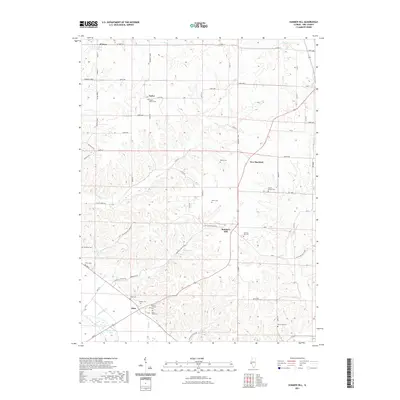
2021 Map of Summer Hill
USGS Topo · Published 2021About this map
Summer Hill and Atlas anchor this portion of Pike County, where the high ridges of the interior drop toward the Mississippi River floodplain. The landscape is defined by the sharp transition between the upland drainages of Dutch Cr and Ambrosia Cr and the low-lying waters of The Sny and Spatterdock Lake to the southwest. This area preserves a dense concentration of family and community burial grounds, including the Taylor Martin Cem, Ball's Bluff Cem, and Prairie Mound Cem, which serve as vital markers for local genealogical research. The road network, including Jim Town Hollow Rd and Ambrosia Hollow Rd, follows the natural contours of the hollows, illustrating how the rugged geography influenced early settlement patterns and the connectivity between small communities like New Hartford and El Dara.
Find a feature on this map
57 named features on this map. Tap any name to fly to it.
Don’t see what you’re looking for? This feature index may not catch every label — zoom into the map to look around manually.
Map Details
Editions of this 2021 Summer Hill Map
This is the sole edition of this map. No revisions or reprints were ever made.
Other maps of this area

1890 · Louisiana
USGS Topo · 1:125,000

1926 · Pittsfield
USGS Topo · 1:62,500

1930 · Nebo
USGS Topo · 1:62,500

1931 · Barry
USGS Topo · 1:62,500

1934 · Nebo
USGS Topo · 1:48,000

1936 · Barry
USGS Topo · 1:48,000

1937 · Bowling Green
USGS Topo · 1:62,500

1940 · Bowling Green
USGS Topo · 1:62,500

1942 · Nebo
USGS Topo · 1:62,500

1944 · Barry
USGS Topo · 1:62,500