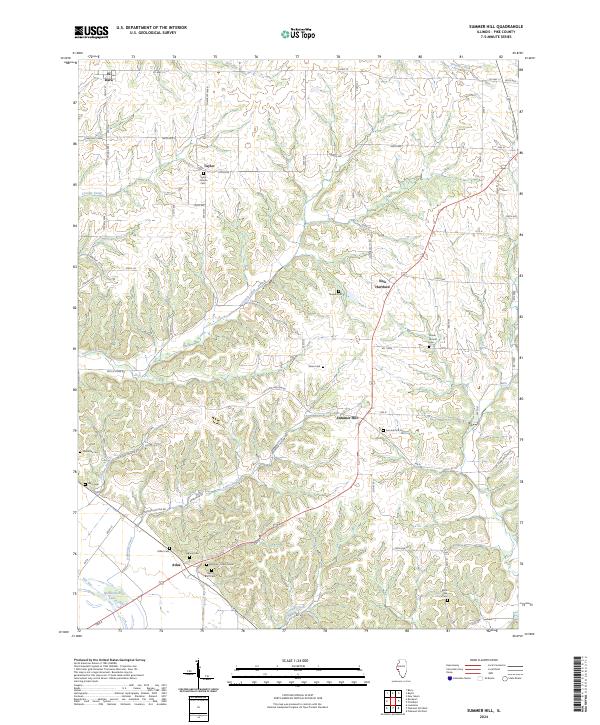
2024 Map of Summer Hill
USGS Topo · Published 2024About this map
El Dara and New Hartford anchor this portion of Pike County, where the terrain transitions from the upland bluffs down toward the Mississippi River bottomlands. The landscape is defined by a dense network of cemeteries, reflecting a long history of rural settlement; these include Ball's Bluff Cem, Taylor - Martin Cem, and the Mooney - Marion Cem. Local drainage systems like Dutch Creek and Ambrosia Creek carve through the hills, eventually leading toward The Sny and the marshy edges of Spatterdock Lake. The map reveals a meticulous record of property access through numerous township roads and named avenues, such as Township 1400N and Co Hwy 13, which connect the small hamlets of Taylor and Summer Hill. For genealogists, the high concentration of small burial grounds provides a vital spatial link to the early families of this river-adjacent region.
Find a feature on this map
67 named features on this map. Tap any name to fly to it.
Don’t see what you’re looking for? This feature index may not catch every label — zoom into the map to look around manually.
Map Details
Editions of this 2024 Summer Hill Map
This is the sole edition of this map. No revisions or reprints were ever made.
Other maps of this area

1890 · Louisiana
USGS Topo · 1:125,000

1926 · Pittsfield
USGS Topo · 1:62,500

1930 · Nebo
USGS Topo · 1:62,500

1931 · Barry
USGS Topo · 1:62,500

1934 · Nebo
USGS Topo · 1:48,000

1936 · Barry
USGS Topo · 1:48,000

1937 · Bowling Green
USGS Topo · 1:62,500

1940 · Bowling Green
USGS Topo · 1:62,500

1942 · Nebo
USGS Topo · 1:62,500

1944 · Barry
USGS Topo · 1:62,500