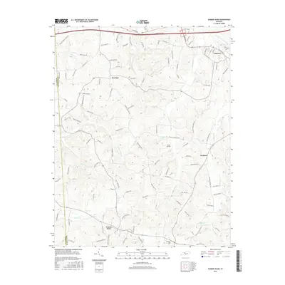
2016 Map of Summer Shade
USGS Topo · Published 2016About this map
Edmonton anchors the northeastern corner of this landscape, situated near the headwaters of the S Fork Little Barren River. The terrain is defined by a dense network of creek valleys and ridges, including Miner Hollow and Graven Hill. In the southwest, the community of Summer Shade sits at a crossroads, while the small settlements of Randolph and Goodluck are connected by a web of rural routes. The map records several small family or community burial sites, marked simply as Cem, scattered across the undulating countryside. The area shows modern residential developments like Clay Lick Acres and Bridgewater Hts, illustrating how the county seat of Metcalfe County has expanded beyond its traditional center. Numerous watercourses, such as Falling Timber Cr and Clay Lick Cr, carve through the land, dictating the placement of historic farmsteads and modern roads alike.
Find a feature on this map
114 named features on this map. Tap any name to fly to it.
Don’t see what you’re looking for? This feature index may not catch every label — zoom into the map to look around manually.
Map Details
Editions of this 2016 Summer Shade Map
This is the sole edition of this map. No revisions or reprints were ever made.
Other maps of this area

1935 · Horse Cave
USGS Topo · 1:48,000

1938 · Horse Cave
USGS Topo · 1:62,500

1953 · Sulphur Well
USGS Topo · 1:24,000

1953 · Sulphur Lick
USGS Topo · 1:24,000

1953 · Temple Hill
USGS Topo · 1:24,000

1953 · Freedom
USGS Topo · 1:24,000

1953 · Edmonton
USGS Topo · 1:24,000

1953 · Summer Shade
USGS Topo · 1:24,000

1953 · Dubre
USGS Topo · 1:24,000

1953 · East Fork
USGS Topo · 1:24,000