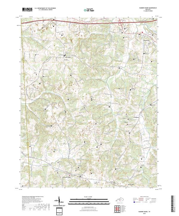
2022 Map of Summer Shade
USGS Topo · Published 2022About this map
Summer Shade and Randolph anchor this southern Kentucky landscape at the boundary of Barren and Metcalfe counties. The region is characterized by a dense network of family-named cemeteries and rural churches, such as the Pleasant Grove Presbyterian Church Cem and Bellview Church of Christ Cem, reflecting a long-established settlement pattern deeply rooted in local genealogy. Names like Pedigo Family Cem, Button Family Cem, and Newton Pedigo Cem appear across the terrain, offering significant value for researchers tracing family history in these small communities.
Find a feature on this map
177 named features on this map. Tap any name to fly to it.
Don’t see what you’re looking for? This feature index may not catch every label — zoom into the map to look around manually.
Map Details
Editions of this 2022 Summer Shade Map
This is the sole edition of this map. No revisions or reprints were ever made.
Other maps of this area

1935 · Horse Cave
USGS Topo · 1:48,000

1938 · Horse Cave
USGS Topo · 1:62,500

1953 · Sulphur Well
USGS Topo · 1:24,000

1953 · Sulphur Lick
USGS Topo · 1:24,000

1953 · Temple Hill
USGS Topo · 1:24,000

1953 · Freedom
USGS Topo · 1:24,000

1953 · Edmonton
USGS Topo · 1:24,000

1953 · Summer Shade
USGS Topo · 1:24,000

1953 · Dubre
USGS Topo · 1:24,000

1953 · East Fork
USGS Topo · 1:24,000