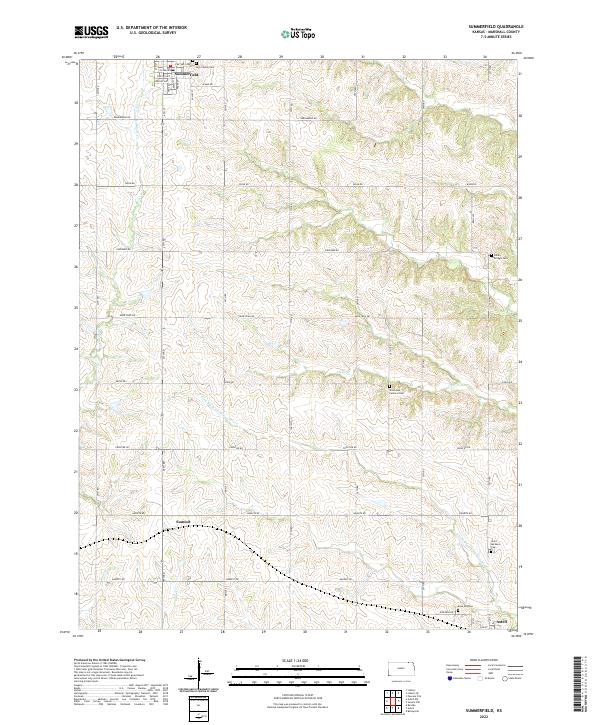
2022 Map of Summerfield
USGS Topo · Published 2022About this map
Summerfield occupies the northern edge of this Marshall County landscape, where the street grid of W Erb Ave and Main St meets the border. This area is defined by a dense network of country cemeteries and watercourses that drain toward the N Fork Black Vermillion River in the south. The rural landscape is meticulously partitioned by the Public Land Survey System, with roads like Arrowhead Rd and Bison Rd following section lines through rolling terrain.
Find a feature on this map
46 named features on this map. Tap any name to fly to it.
Don’t see what you’re looking for? This feature index may not catch every label — zoom into the map to look around manually.
Map Details
Editions of this 2022 Summerfield Map
This is the sole edition of this map. No revisions or reprints were ever made.
Other maps of this area

1889 · Seneca
USGS Topo · 1:125,000

1894 · Seneca
USGS Topo · 1:125,000

1955 · Manhattan
USGS Topo · 1:250,000

1955 · Lincoln
USGS Topo · 1:250,000

1956 · Manhattan
USGS Topo · 1:250,000

1957 · Manhattan
USGS Topo · 1:250,000

1957 · Lincoln
USGS Topo · 1:250,000

1958 · Lincoln
USGS Topo · 1:250,000

1965 · Pawnee City
USGS Topo · 1:24,000
1965 · Liberty SE
USGS Topo · 1:24,000