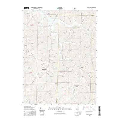
2016 Map of Summerfield
USGS Topo · Published 2016About this map
Summerfield serves as the central hub of this eastern Ohio landscape, situated at the junction of several county routes and historically significant ridge roads. The topography is defined by deeply carved stream valleys and prominent landforms such as Lexington Ridge and Ranker Knob, which dictate the winding paths of rural thoroughfares like the Miltonsburg Calais Rd. The map reveals a dense concentration of lineage markers, including the Whigville Cem, Aaron Cem, and the remote Swazey Methodist Cem located near the southern border of the Wayne National Forest. Drainage patterns are complex, with the Seneca Fork Wills Creek flowing toward Senecaville Lake in the north, while the Clear Fork Little Muskingum River navigates the southern reaches. Small, scattered settlements like Calais, Brister, and Steamtown are connected by a network of hollow roads, such as Brownfield Hollow Rd and Crawford Hollow Rd, reflecting a traditional Appalachian plateau settlement pattern.
Find a feature on this map
116 named features on this map. Tap any name to fly to it.
Don’t see what you’re looking for? This feature index may not catch every label — zoom into the map to look around manually.
Map Details
Editions of this 2016 Summerfield Map
This is the sole edition of this map. No revisions or reprints were ever made.
Other maps of this area

1903 · Macksburg
USGS Topo · 1:62,500

1905 · New Matamoras
USGS Topo · 1:62,500

1905 · Woodsfield
USGS Topo · 1:62,500

1905 · Macksburg
USGS Topo · 1:62,500

1909 · Summerfield
USGS Topo · 1:62,500

1911 · Summerfield
USGS Topo · 1:62,500

1924 · New Matamoras
USGS Topo · 1:62,500

1926 · New Matamoras
USGS Topo · 1:62,500

1949 · Clarksburg
USGS Topo · 1:250,000

1956 · Clarksburg
USGS Topo · 1:250,000