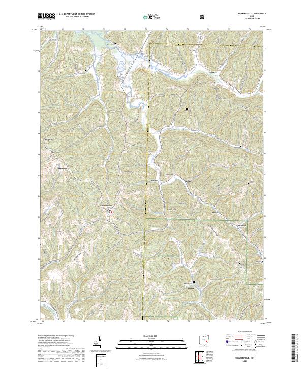
2023 Map of Summerfield
USGS Topo · Published 2023About this map
Summerfield serves as a central hub in this corner of Noble County, where the township boundaries of t8n r8w, t7n r8w, t8n r7w, and t7n r7w meet. The landscape is defined by a dense network of ridges and runs, including Lexington Ridge and Curtis Ridge, which separate the various branches of the South Fork and Seneca Fork Wills Creek. This topography influenced the placement of numerous small rural settlements like Calais, Whigville, and Steamtown.
Find a feature on this map
111 named features on this map. Tap any name to fly to it.
Don’t see what you’re looking for? This feature index may not catch every label — zoom into the map to look around manually.
Map Details
Editions of this 2023 Summerfield Map
This is the sole edition of this map. No revisions or reprints were ever made.
Other maps of this area

1903 · Macksburg
USGS Topo · 1:62,500

1905 · New Matamoras
USGS Topo · 1:62,500

1905 · Woodsfield
USGS Topo · 1:62,500

1905 · Macksburg
USGS Topo · 1:62,500

1909 · Summerfield
USGS Topo · 1:62,500

1911 · Summerfield
USGS Topo · 1:62,500

1924 · New Matamoras
USGS Topo · 1:62,500

1926 · New Matamoras
USGS Topo · 1:62,500

1949 · Clarksburg
USGS Topo · 1:250,000

1956 · Clarksburg
USGS Topo · 1:250,000