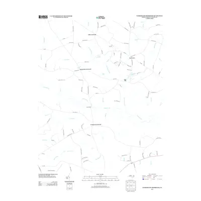
2013 Map of Summerlins Crossroads
USGS Topo · Published 2013About this map
Goshen Swamp and its numerous tributaries, including Maple Br and Bullard Br, define the drainage patterns of this rural landscape in Duplin County. The map captures a transition toward modern infrastructure with the Duplin County Airport appearing in the southwest, contrasting with the established crossroads network that has long organized local life. Named intersections such as Summerlins Crossroads, Hills Crossroads, and Westbrook Crossroads anchor the community, while numerous family-named roads like Ralph Sutton Rd and George Martin Ln suggest a deeply rooted genealogy of land ownership. Smaller water features like Kinsey Jones Pond and Dails Pond dot the area, often near early routes such as Kinsey Mill Rd. This 2013 survey provides a clear view of the agricultural and residential patterns before further 21st-century development, preserving the locations of Wards Bridge and the small settlement at Red Hill.
Find a feature on this map
98 named features on this map. Tap any name to fly to it.
Don’t see what you’re looking for? This feature index may not catch every label — zoom into the map to look around manually.
Map Details
Editions of this 2013 Summerlins Crossroads Map
This is the sole edition of this map. No revisions or reprints were ever made.
Other maps of this area

1943 · Kenansville
USGS Topo · 1:62,500

1948 · Kenansville
USGS Topo · 1:62,500

1953 · Florence
USGS Topo · 1:250,000

1953 · Rocky Mount
USGS Topo · 1:250,000

1953 · Raleigh
USGS Topo · 1:250,000

1953 · Beaufort
USGS Topo · 1:250,000

1954 · Rocky Mount
USGS Topo · 1:250,000

1954 · Florence
USGS Topo · 1:250,000

1954 · Raleigh
USGS Topo · 1:250,000

1954 · Beaufort
USGS Topo · 1:250,000