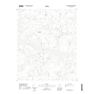
2019 Map of Summerlins Crossroads
USGS Topo · Published 2019About this map
Goshen Swamp and its many meandering tributaries define the low-lying landscape of Duplin County in this 2019 survey. Small settlements like Summerlins Crossroads, Hills Crossroads, and Red Hill are linked by a dense network of local routes such as Summerlins Crossroad Rd and Tram Rd. The area maintains its rural character with family-named landmarks and water features including Kinsey Jones Pond, Dails Pond, and Herrings Marsh Run. Local history and genealogy are anchored by traditional burial sites like Pate Cem and Smith Cem. Modern infrastructure is represented by the Duplin County Airport in the south and the crossing at Wards Bridge, reflecting the persistent importance of managing transit across the wetland systems of Nahunga Cr and Little Marsh.
Find a feature on this map
94 named features on this map. Tap any name to fly to it.
Don’t see what you’re looking for? This feature index may not catch every label — zoom into the map to look around manually.
Map Details
Editions of this 2019 Summerlins Crossroads Map
This is the sole edition of this map. No revisions or reprints were ever made.
Other maps of this area

1943 · Kenansville
USGS Topo · 1:62,500

1948 · Kenansville
USGS Topo · 1:62,500

1953 · Florence
USGS Topo · 1:250,000

1953 · Rocky Mount
USGS Topo · 1:250,000

1953 · Raleigh
USGS Topo · 1:250,000

1953 · Beaufort
USGS Topo · 1:250,000

1954 · Rocky Mount
USGS Topo · 1:250,000

1954 · Florence
USGS Topo · 1:250,000

1954 · Raleigh
USGS Topo · 1:250,000

1954 · Beaufort
USGS Topo · 1:250,000