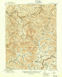
1915 Map of Summersville
USGS Topo · Published 1949About this map
Summersville and the surrounding Appalachian uplands are depicted here in a period of transition, following a 1913 survey that captured the isolated rural character of Nicholas and Clay counties. The landscape is defined by the winding Gauley River and prominent ridges like Powell Mountain and Duffy Ridge. Settlement is clustered around timber and mining outposts such as Swandale and Widen, while the interior remains a network of family-named hollows and small farms.
Find a feature on this map
108 named features on this map. Tap any name to fly to it.
Don’t see what you’re looking for? This feature index may not catch every label — zoom into the map to look around manually.
Map Details
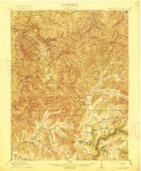
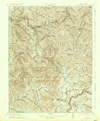
Editions of this 1915 Summersville Map
3 editions found
Other maps of this area

1889 · Nicholas
USGS Topo · 1:125,000

1891 · Nicholas
USGS Topo · 1:125,000

1893 · Sutton
USGS Topo · 1:125,000

1897 · Kanawha Falls
USGS Topo · 1:125,000

1900 · Kanawha Falls
USGS Topo · 1:125,000

1901 · Nicholas
USGS Topo · 1:125,000

1901 · Kanawha Falls
USGS Topo · 1:125,000

1906 · Otter
USGS Topo · 1:62,500

1907 · Otter
USGS Topo · 1:62,500

1908 · Clay
USGS Topo · 1:48,000