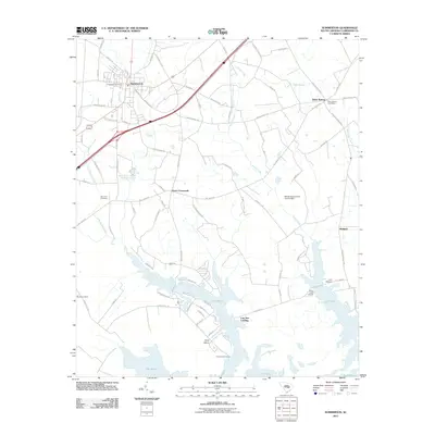
2011 Map of Summerton
USGS Topo · Published 2011About this map
Summerton serves as the primary hub for this Clarendon County landscape, where the agricultural interior transitions toward the northern reaches of Lake Marion. The map illustrates a network of rural settlements and crossroads that have defined the region for generations, including Davis Crossroads and Davis Station, the latter of which still retains its Davis Station Post Office. For those looking into family histories, the area is dotted with local landmarks like Evergreen Cemetery, Saint Paul Cemetery, and Butler Cemetery.
Find a feature on this map
88 named features on this map. Tap any name to fly to it.
Don’t see what you’re looking for? This feature index may not catch every label — zoom into the map to look around manually.
Map Details
Editions of this 2011 Summerton Map
This is the sole edition of this map. No revisions or reprints were ever made.
Other maps of this area

1920 · Eutawville
USGS Topo · 1:48,000

1920 · Chicora
USGS Topo · 1:48,000

1920 · Manning
USGS Topo · 1:48,000

1921 · Chicora
USGS Topo · 1:62,500

1921 · Manning
USGS Topo · 1:62,500

1921 · Eutawville
USGS Topo · 1:62,500

1943 · Chicora
USGS Topo · 1:62,500

1943 · Eutawville
USGS Topo · 1:62,500

1944 · Manning
USGS Topo · 1:62,500

1954 · Augusta
USGS Topo · 1:250,000