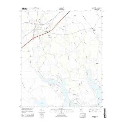
2014 Map of Summerton
USGS Topo · Published 2014About this map
Summerton serves as the primary hub of this Clarendon County landscape, where the intersection of Us-15, Us-301, and the Alex Harvin Hwy marks the region's long-standing role in South Carolina transit. The terrain transitions from the residential streets of the town center toward the expansive waters of Lake Marion to the south. This shoreline is defined by intricate inlets like Tawcaw Creek and the notable Log Jam Landing, reflecting the area's deep connection to the Santee River basin and its hydraulic history.
Find a feature on this map
103 named features on this map. Tap any name to fly to it.
Don’t see what you’re looking for? This feature index may not catch every label — zoom into the map to look around manually.
Map Details
Editions of this 2014 Summerton Map
This is the sole edition of this map. No revisions or reprints were ever made.
Other maps of this area

1920 · Eutawville
USGS Topo · 1:48,000

1920 · Chicora
USGS Topo · 1:48,000

1920 · Manning
USGS Topo · 1:48,000

1921 · Chicora
USGS Topo · 1:62,500

1921 · Manning
USGS Topo · 1:62,500

1921 · Eutawville
USGS Topo · 1:62,500

1943 · Chicora
USGS Topo · 1:62,500

1943 · Eutawville
USGS Topo · 1:62,500

1944 · Manning
USGS Topo · 1:62,500

1954 · Augusta
USGS Topo · 1:250,000