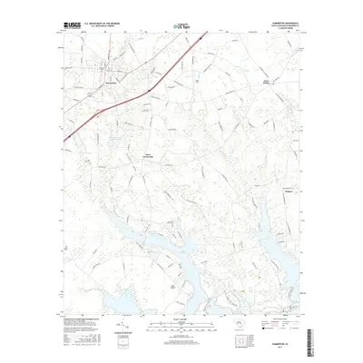
2017 Map of Summerton
USGS Topo · Published 2017About this map
Summerton serves as the primary hub of this landscape, situated at the intersection of local routes and the modern Interstate 95 corridor. The area transitions from the organized streets of the town center to the sprawling wetlands and inlets of Lake Marion to the south. This geography reveals a community deeply tied to the Santee River system, where residential clusters like Davis Crossroads, Davis Station, and Rodgers are interspersed with agricultural lands and managed forests. Notable family and historical landmarks are scattered throughout the region, including Evergreen Cem, Saint Paul Cem, and Butler Cem, providing essential points of interest for genealogical research.
Find a feature on this map
107 named features on this map. Tap any name to fly to it.
Don’t see what you’re looking for? This feature index may not catch every label — zoom into the map to look around manually.
Map Details
Editions of this 2017 Summerton Map
This is the sole edition of this map. No revisions or reprints were ever made.
Other maps of this area

1920 · Eutawville
USGS Topo · 1:48,000

1920 · Chicora
USGS Topo · 1:48,000

1920 · Manning
USGS Topo · 1:48,000

1921 · Chicora
USGS Topo · 1:62,500

1921 · Manning
USGS Topo · 1:62,500

1921 · Eutawville
USGS Topo · 1:62,500

1943 · Chicora
USGS Topo · 1:62,500

1943 · Eutawville
USGS Topo · 1:62,500

1944 · Manning
USGS Topo · 1:62,500

1954 · Augusta
USGS Topo · 1:250,000