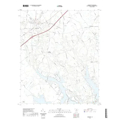
2020 Map of Summerton
USGS Topo · Published 2020About this map
Summerton serves as the primary hub of this landscape, situated at the intersection of several local routes such as Larry King Hwy and S Church St. The map illustrates a rural South Carolina character defined by small crossroads settlements and agricultural fields. To the southeast, the terrain transitions into the expansive waters and finger-like inlets of Lake Marion, where Goat Island sits near the shore. The drainage patterns of the coastal plain are evident in the winding courses of Tawcaw Creek and Savanna Br.
Find a feature on this map
130 named features on this map. Tap any name to fly to it.
Don’t see what you’re looking for? This feature index may not catch every label — zoom into the map to look around manually.
Map Details
Editions of this 2020 Summerton Map
This is the sole edition of this map. No revisions or reprints were ever made.
Other maps of this area

1920 · Eutawville
USGS Topo · 1:48,000

1920 · Chicora
USGS Topo · 1:48,000

1920 · Manning
USGS Topo · 1:48,000

1921 · Chicora
USGS Topo · 1:62,500

1921 · Manning
USGS Topo · 1:62,500

1921 · Eutawville
USGS Topo · 1:62,500

1943 · Chicora
USGS Topo · 1:62,500

1943 · Eutawville
USGS Topo · 1:62,500

1944 · Manning
USGS Topo · 1:62,500

1954 · Augusta
USGS Topo · 1:250,000