Loading...
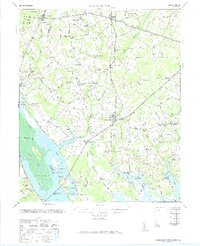
Loading map...1971 Map of Summerton
USGS Topo · Published 1971About this map
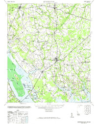
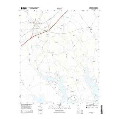
Fort Watson stands as a significant landmark along the edges of Lake Marion, where the landscape transitions from the dense wetlands of Big Bay Swamp to the agricultural reaches of Clarendon County. The mapping reveals a rural South Carolina interior defined by small educational and religious centers, such as Liberty Hill Sch, Zoar Hill Sch, and Andrews Chapel. These institutions often served as the primary gathering points for the surrounding farmsteads and communities.
Find a feature on this map
96 named features on this map. Tap any name to fly to it.
Don’t see what you’re looking for? This feature index may not catch every label — zoom into the map to look around manually.
Map Details
Date Portrayed1971
Date Published1971
PublisherU.S. Geological Survey
Map TypeTopographic
Scale1:62,500
Physical Dimensions18.13 x 22.34 inches
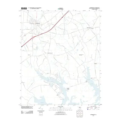
Editions of this 1971 Summerton Map
2 editions found
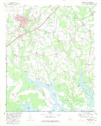
Historical Maps of Summerton Through Time
7 maps found
Featured Locations
Source Details
SourceU.S. Geological Survey
CopyrightPublic Domain