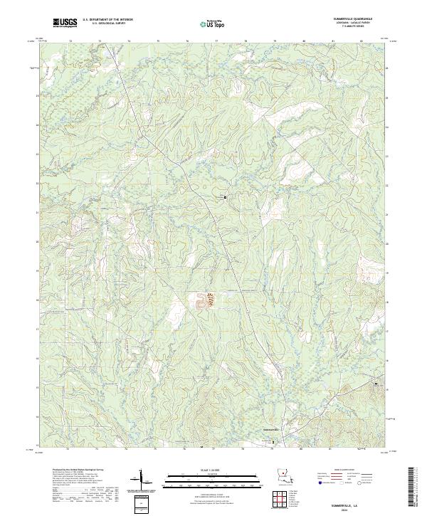
2024 Map of Summerville
USGS Topo · Published 2024About this map
The settlement of Summerville serves as the focal point for this landscape in LaSalle Parish, situated near the confluence of Mill Creek and Bayou Funny Louis. The terrain is defined by a dense network of drainage systems, including Chickasaw Creek and the winding Little Chickasaw Creek, which cross through varied elevations. For genealogists and local historians, the presence of Summerville Cem, Little Chickasaw Cem, and Squires Cem provides specific points for tracing family lineages in this rural Louisiana community. The map also reveals an extensive industrial and energy footprint, evidenced by numerous petroleum-related roads such as Oil Field Rd, Petro Hunt One, and H P C Olla Field Rd. These labels, alongside facilities like the H P C 23 Tank Battery Rd, indicate a landscape deeply integrated with the region's oil and gas production history.
Find a feature on this map
68 named features on this map. Tap any name to fly to it.
Don’t see what you’re looking for? This feature index may not catch every label — zoom into the map to look around manually.
Map Details
Editions of this 2024 Summerville Map
This is the sole edition of this map. No revisions or reprints were ever made.
Other maps of this area

1936 · Pollock
USGS Topo · 1:62,500

1941 · Jena
USGS Topo · 1:62,500

1941 · Pollock
USGS Topo · 1:62,500

1953 · Alexandria
USGS Topo · 1:250,000

1954 · Tullos
USGS Topo · 1:62,500

1955 · Alexandria
USGS Topo · 1:250,000

1955 · Olla
USGS Topo · 1:62,500

1958 · Pollock
USGS Topo · 1:62,500

1958 · Jena
USGS Topo · 1:62,500
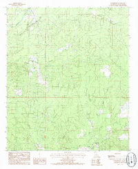
1984 · Summerville
USGS Topo · 1:24,000