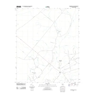
2011 Map of Summerville NW
USGS Topo · Published 2011About this map
The Ashley River headwaters and its various tributaries define the low-country landscape of Berkeley County as it appeared in the early 21st century. The small community of Lebanon serves as a focal point for researchers, flanked by the Lebanon Cemetery and Blanton Cemetery. Further east, the settlement of Long Ridge lies near the Wassamassaw Cemetery, illustrating the long-standing family and community footprints in this rural area.
Find a feature on this map
47 named features on this map. Tap any name to fly to it.
Don’t see what you’re looking for? This feature index may not catch every label — zoom into the map to look around manually.
Map Details
Editions of this 2011 Summerville NW Map
This is the sole edition of this map. No revisions or reprints were ever made.
Other maps of this area

1919 · Summerville
USGS Topo · 1:48,000

1919 · Ridgeville
USGS Topo · 1:48,000

1920 · Eutawville
USGS Topo · 1:48,000

1920 · Chicora
USGS Topo · 1:48,000

1920 · Ridgeville
USGS Topo · 1:62,500

1920 · Summerville
USGS Topo · 1:62,500

1921 · Chicora
USGS Topo · 1:62,500

1921 · Eutawville
USGS Topo · 1:62,500

1943 · Chicora
USGS Topo · 1:62,500

1943 · Ridgeville
USGS Topo · 1:62,500