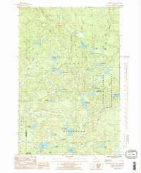
1985 Map of Summit Lake
USGS Topo · Published 1985About this map
The Cyrus H McCormick Experimental Forest dominates the eastern half of this landscape, marking a transition between the L'Anse area and the Marquette County line. This 1985 survey captures a wilderness rich with hydrographic features, where the West Branch Huron River and East Branch Huron River converge to form the headwaters of the regional drainage. The terrain is characterized by a dense network of glacial lakes including Summit Lake, Lake Alice, and Four Island Lake, many of which remain relatively isolated within protected state and federal lands.
Find a feature on this map
41 named features on this map. Tap any name to fly to it.
Don’t see what you’re looking for? This feature index may not catch every label — zoom into the map to look around manually.
Map Details
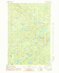
Editions of this 1985 Summit Lake Map
2 editions found
Other maps of this area

1954 · Huron Mountain
USGS Topo · 1:62,500

1954 · Skanee
USGS Topo · 1:62,500

1955 · Champion
USGS Topo · 1:24,000

1955 · Champion
USGS Topo · 1:62,500

1956 · Three Lakes
USGS Topo · 1:24,000

1956 · Michigamme
USGS Topo · 1:62,500

1956 · Michigamme
USGS Topo · 1:24,000

1958 · Marquette
USGS Topo · 1:250,000

1958 · Iron River
USGS Topo · 1:250,000

1960 · Iron River
USGS Topo · 1:250,000