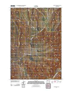
2011 Map of Summit Ridge
USGS Topo · Published 2011About this map
Summit Ridge and its network of agricultural and market roads define the plateau geography of Wasco County in this 2011 survey. The landscape is deeply incised by drainages that feed the Deschutes River, which appears in the southeastern corner near Ferry Canyon. This area is characterized by high ridges such as Hastings Ridge Rd and seasonal watercourses like Davis Creek. The naming conventions of the local infrastructure, including Wrentham Market Rd and Summit Ridge Mkt Rd, suggest a historic connectivity between high-elevation farmsteads and regional market centers. Further topographical variety is found in the northern breaks at Windmill Canyon and the eastern descent into Craft Canyon, illustrating the transition from open ridge tops to the steep river corridors of the Oregon interior.
Find a feature on this map
12 named features on this map. Tap any name to fly to it.
Don’t see what you’re looking for? This feature index may not catch every label — zoom into the map to look around manually.
Map Details
Editions of this 2011 Summit Ridge Map
This is the sole edition of this map. No revisions or reprints were ever made.
Other maps of this area

1930 · Dufur
USGS Topo · 1:125,000

1934 · Dufur
USGS Topo · 1:125,000

1934 · The Dalles
USGS Topo · 1:125,000

1953 · The Dalles
USGS Topo · 1:250,000

1956 · The Dalles
USGS Topo · 1:250,000

1957 · The Dalles
USGS Topo · 1:250,000

1957 · The Dalles
USGS Topo · 1:62,500

1957 · Wishram
USGS Topo · 1:62,500

1962 · Sherars Bridge
USGS Topo · 1:24,000

1962 · Erskine
USGS Topo · 1:24,000