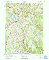
1943 Map of Summit
USGS Topo · Published 1990About this map
Summit stands as the central hub of this Schoharie County landscape, situated amidst a high-elevation plateau marked by a network of hollows and small glacial ponds. During the mid-1940s, this region maintained a remarkably decentralized rural character, evidenced by the high density of numbered schoolhouses such as School No 7 and School No 11 scattered across the township boundaries of Richmondville, Summit, and Fulton. The terrain is defined by dramatic elevation changes, with The Cobble and Burnt Hill rising above narrow valleys like Wharton Hollow and Beards Hollow.
Find a feature on this map
37 named features on this map. Tap any name to fly to it.
Don’t see what you’re looking for? This feature index may not catch every label — zoom into the map to look around manually.
Map Details
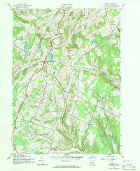
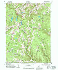
Editions of this 1943 Summit Map
4 editions found

Other maps of this area

1898 · Schoharie
USGS Topo · 1:62,500

1900 · Schoharie
USGS Topo · 1:62,500

1901 · Gilboa
USGS Topo · 1:62,500

1903 · Gilboa
USGS Topo · 1:62,500

1904 · Richmondville
USGS Topo · 1:62,500

1904 · Hobart
USGS Topo · 1:62,500

1943 · Cobleskill
USGS Topo · 1:24,000

1943 · South Valley
USGS Topo · 1:24,000

1943 · Breakabeen
USGS Topo · 1:24,000

1943 · Charlotteville
USGS Topo · 1:24,000