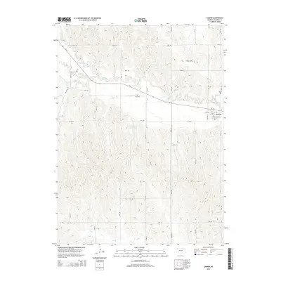
2014 Map of Sumner
USGS Topo · Published 2014About this map
The village of Sumner anchors this Dawson County landscape along the Wood River, where the Nebraska prairie meets the organized grid of rural roads. This 2014 survey documents a region defined by agricultural water management and small-town connectivity, evidenced by the Newquist Reservoir and Winter Reservoir located south of the main settlement. The topographical data reveals the winding path of the river and its tributary, the Dry Fork Wood River, which carve through the terrain north of Ne-40. For local historians and genealogists, the map provides precise locations for three distinct burial grounds: Saint Patricks Cem in the northwest, Jewell Cem centrally located near the highway, and Sumner Cem just east of the village. The street plan of Sumner is detailed with named thoroughfares including Main St and Chestnut St, offering a clear view of the community's layout in the early twenty-first century.
Find a feature on this map
30 named features on this map. Tap any name to fly to it.
Don’t see what you’re looking for? This feature index may not catch every label — zoom into the map to look around manually.
Map Details
Editions of this 2014 Sumner Map
This is the sole edition of this map. No revisions or reprints were ever made.
Other maps of this area

1896 · Lexington
USGS Topo · 1:125,000

1896 · Kearney
USGS Topo · 1:125,000

1899 · Lexington
USGS Topo · 1:125,000

1951 · Mason City SW
USGS Topo · 1:24,000

1951 · Eddyville
USGS Topo · 1:24,000

1951 · Eddyville SW
USGS Topo · 1:24,000

1955 · Broken Bow
USGS Topo · 1:250,000

1955 · Grand Island
USGS Topo · 1:250,000

1956 · Broken Bow
USGS Topo · 1:250,000

1957 · Grand Island
USGS Topo · 1:250,000