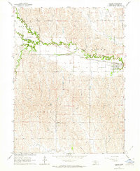
1962 Map of Sumner
USGS Topo · Published 1964About this map
Sumner serves as the focal point of this 1962 topography, situated where the Union Pacific railroad corridor parallels the meandering course of the Wood River. The settlement pattern reflects the mid-century agricultural landscape of Dawson County, characterized by a grid of rural roads and scattered farmsteads. Local history and genealogy are well-represented by several burial grounds, including St Patricks Cem, Jewell Cem, and the Sumner Cem, which anchor the small communities within the Kennebec and Lincoln districts.
Find a feature on this map
15 named features on this map. Tap any name to fly to it.
Don’t see what you’re looking for? This feature index may not catch every label — zoom into the map to look around manually.
Map Details
Editions of this 1962 Sumner Map
This is the sole edition of this map. No revisions or reprints were ever made.
Other maps of this area

1896 · Lexington
USGS Topo · 1:125,000

1896 · Kearney
USGS Topo · 1:125,000

1899 · Lexington
USGS Topo · 1:125,000

1951 · Mason City SW
USGS Topo · 1:24,000

1951 · Eddyville
USGS Topo · 1:24,000

1951 · Eddyville SW
USGS Topo · 1:24,000

1955 · Broken Bow
USGS Topo · 1:250,000

1955 · Grand Island
USGS Topo · 1:250,000

1956 · Broken Bow
USGS Topo · 1:250,000

1957 · Grand Island
USGS Topo · 1:250,000