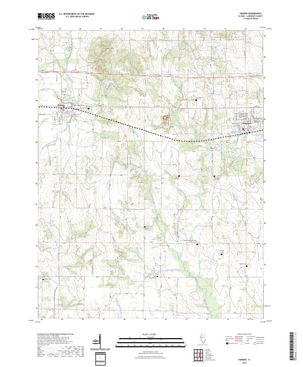
2024 Map of Sumner
USGS Topo · Published 2024About this map
The city of Sumner anchors the western edge of this Lawrence County landscape, where the terrain transitions from the heights of Red Hill down toward the bottomlands of Muddy Creek. To the east, the neighboring community of Bridgeport is defined by a dense street grid including W Franklin St and Madison St. The intervening countryside is deeply etched by a network of waterways, most notably Raccoon Creek, Indian Creek, and Crab Apple Creek, which have shaped the local agricultural and settlement patterns for generations.
Find a feature on this map
51 named features on this map. Tap any name to fly to it.
Don’t see what you’re looking for? This feature index may not catch every label — zoom into the map to look around manually.
Map Details
Editions of this 2024 Sumner Map
This is the sole edition of this map. No revisions or reprints were ever made.
Other maps of this area

1910 · Hardinville
USGS Topo · 1:62,500

1911 · Sumner
USGS Topo · 1:62,500

1913 · Sumner
USGS Topo · 1:62,500

1915 · Vincennes
USGS Topo · 1:62,500

1917 · Birds
USGS Topo · 1:62,500

1942 · Birds
USGS Topo · 1:62,500

1944 · Vincennes
USGS Topo · 1:62,500

1956 · Vincennes
USGS Topo · 1:250,000

1957 · Vincennes
USGS Topo · 1:250,000

1958 · Vincennes
USGS Topo · 1:250,000