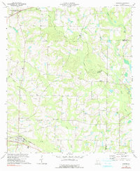
1973 Map of Sumner
USGS Topo · Published 1991About this map
The Seaboard Coast Line corridor serves as the primary artery for southern Worth County, anchoring the town of Sumner during the early 1970s. This agricultural landscape is defined by the winding course of the Little River and its numerous tributaries, including Daniels Creek and Little Ty Ty Creek. The map reveals a deeply rooted community structure, evidenced by a high density of rural houses of worship such as New Mt Pleasant Ch, Millers Chapel, and Thompson Grove Ch.
Find a feature on this map
24 named features on this map. Tap any name to fly to it.
Don’t see what you’re looking for? This feature index may not catch every label — zoom into the map to look around manually.
Map Details
Editions of this 1973 Sumner Map
2 editions found
Other maps of this area

1953 · Waycross
USGS Topo · 1:250,000

1956 · Sylvester
USGS Topo · 1:62,500

1956 · Doerun
USGS Topo · 1:62,500

1958 · Waycross
USGS Topo · 1:250,000

1972 · Cuffietown
USGS Topo · 1:24,000

1973 · Sumner
USGS Topo · 1:24,000

1973 · Ty Ty
USGS Topo · 1:24,000

1973 · Sylvester
USGS Topo · 1:24,000

1973 · Ashburn
USGS Topo · 1:24,000

1973 · Chula
USGS Topo · 1:24,000