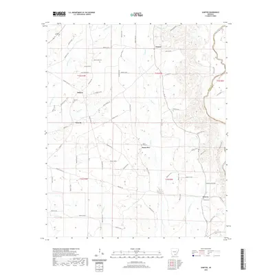
2020 Map of Sumpter
USGS Topo · Published 2020About this map
The Saline River forms the eastern boundary of this Bradley County landscape, winding through a network of creeks and drainage basins that define the local geography. Small settlements and rural hubs such as Sumpter, Simpson, and Pattsville serve as anchors for the surrounding timber and agricultural lands. The map reveals a high concentration of community landmarks, particularly churches and cemeteries like Hickory Springs Cem and Pattsville Cem, which offer significant value for genealogists tracing family histories in the region.
Find a feature on this map
74 named features on this map. Tap any name to fly to it.
Don’t see what you’re looking for? This feature index may not catch every label — zoom into the map to look around manually.
Map Details
Editions of this 2020 Sumpter Map
This is the sole edition of this map. No revisions or reprints were ever made.
Other maps of this area

1934 · Ingalls
USGS Topo · 1:48,000

1937 · Ingalls
USGS Topo · 1:62,500

1939 · Ingalls
USGS Topo · 1:62,500

1953 · Greenwood
USGS Topo · 1:250,000

1953 · El Dorado
USGS Topo · 1:250,000

1956 · Greenwood
USGS Topo · 1:250,000

1957 · El Dorado
USGS Topo · 1:250,000

1958 · El Dorado
USGS Topo · 1:250,000

1960 · El Dorado
USGS Topo · 1:250,000
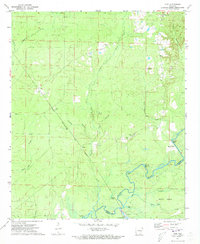
1971 · Vick
USGS Topo · 1:24,000